Main Content
GeoVITe
About the project
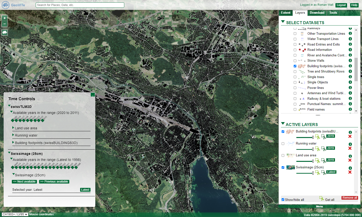
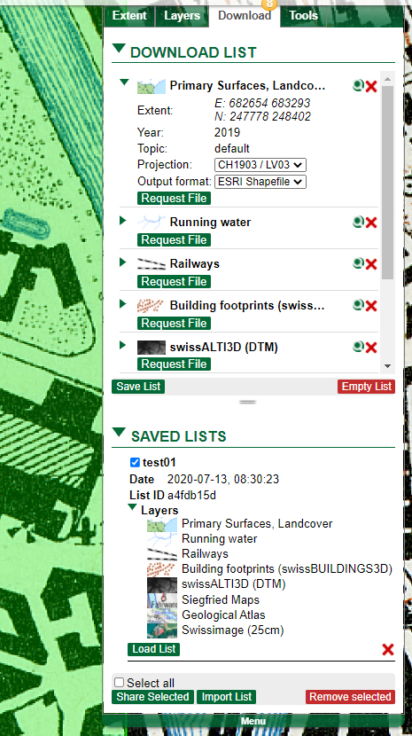
Spatial data is increasingly used at universities, making simple, direct access to the data all the more important. "GeoVITe" offers this access to newcomers as well as to experts at universities. The functionalities are self-explanatory, and the extensive data offered by "GeoVITe" includes vectorized Siegfried and Dufour maps in addition to the official data. A handbook, video tutorials and a support center are available to employees, students and professors. "GeoVITe" is a service of the Institute of Cartography and Geoinformation IKG of ETH Zurich and the ETH Library.
Partners
ETH Zürich
Institut für Kartografie und Geoinformation IKG
ETH-Bibliothek
Key data
- User-friendly, university-wide access to geodata
- Extensive data offering that is continuously being expanded
- Comprehensive documentation and support